Mid-Atlantic for Raymarine
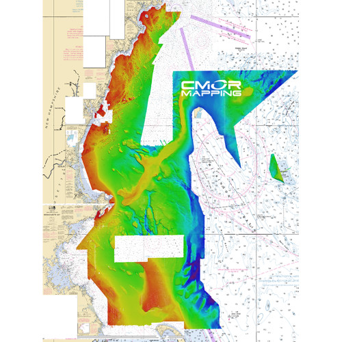
This card features some of the best fishing spots and wrecks in the Mid Atlantic with coverage starting nearshore to 20+ miles offshore, from Delaware Bay south to Virginia Beach & the NE canyons from North Carolina through Maine. Explore countless wrecks with detail like never before, drop or troll in a variety of depths, and finally pinpoint and hook that elusive species you have been waiting to box. Whether you are looking for quick hits with our nearshore data or cruising out to catch some serious wreck fish, this is the card for you!
Some of the featured spots include:
- Chincoteague Shoal
- Delaware Bay
- Fenwik Shoal
- Hudson Canyon
- Ocean City Inlet
- Wrecks 30nm Due East Chesapeake Bay
DON'T HAVE A COMPATIBLE CHARTPLOTTER?
Our CMOR Map Pak includes everything you need to use CMOR Cards on any vessel: a Simrad GO7 XSR touchscreen chartplotter with built-in antenna, a SeaSucker suction mount, a Marinco 12V plug, and a custom-fit waterproof hard case.
CMOR CARDS ARE COMPATIBLE WITH THE FOLLOWING DEVICES:
Raymarine
CMOR cards are compatible with all units capable of running the Lighthouse II and Lighthouse 3 interfaces. In order to support CMOR Mapping, units must have at least v17 software installed.
Units include:
- Axiom Series
- Axiom Pro
- Hydbrid Touch
- aSeries
- cSeries
- eSeries
- eS Series
- gS Series
- Dragonfly Series


